


Have you ever wondered what the world looks like for a soaring eagle? Unmanned aerial vehicles, or UAVs, are bringing that fantasy to life. These aren’t just toys. Instead, think of them as the future of exploration. UAVs are already doing things you wouldn’t believe were even possible. From surveying vast forests to delivering life-saving medical supplies, the potential of UAVs is limitless.
Did you know that the smallest drones in existence weigh less than a gram? They are designed to mimic the flight of insects, allowing them to navigate spaces too small for humans. Imagine a world where tiny, autonomous eyes are everywhere, observing, mapping, and helping with everything.
In this blog, we shall go through the best unmanned aerial vehicles in the world and everything about these top UAVs.
What are Unmanned Aerial Vehicles?
Think of a plane but without a pilot to control it from within; that’s exactly what UAVs are. These types of aircraft are controlled remotely by a human operator on a computer. They can also fly independently using a computer, sensors, and pre-programmed flight plans.
Four Types of UAVs and How They Work
There are four types of unmanned aerial vehicles, i.e., Multirotor, Single-rotor, Fixed Wing, and Hybrid VTOL. Each comes with unique characteristics and applications.
Let’s learn a bit about each of them.
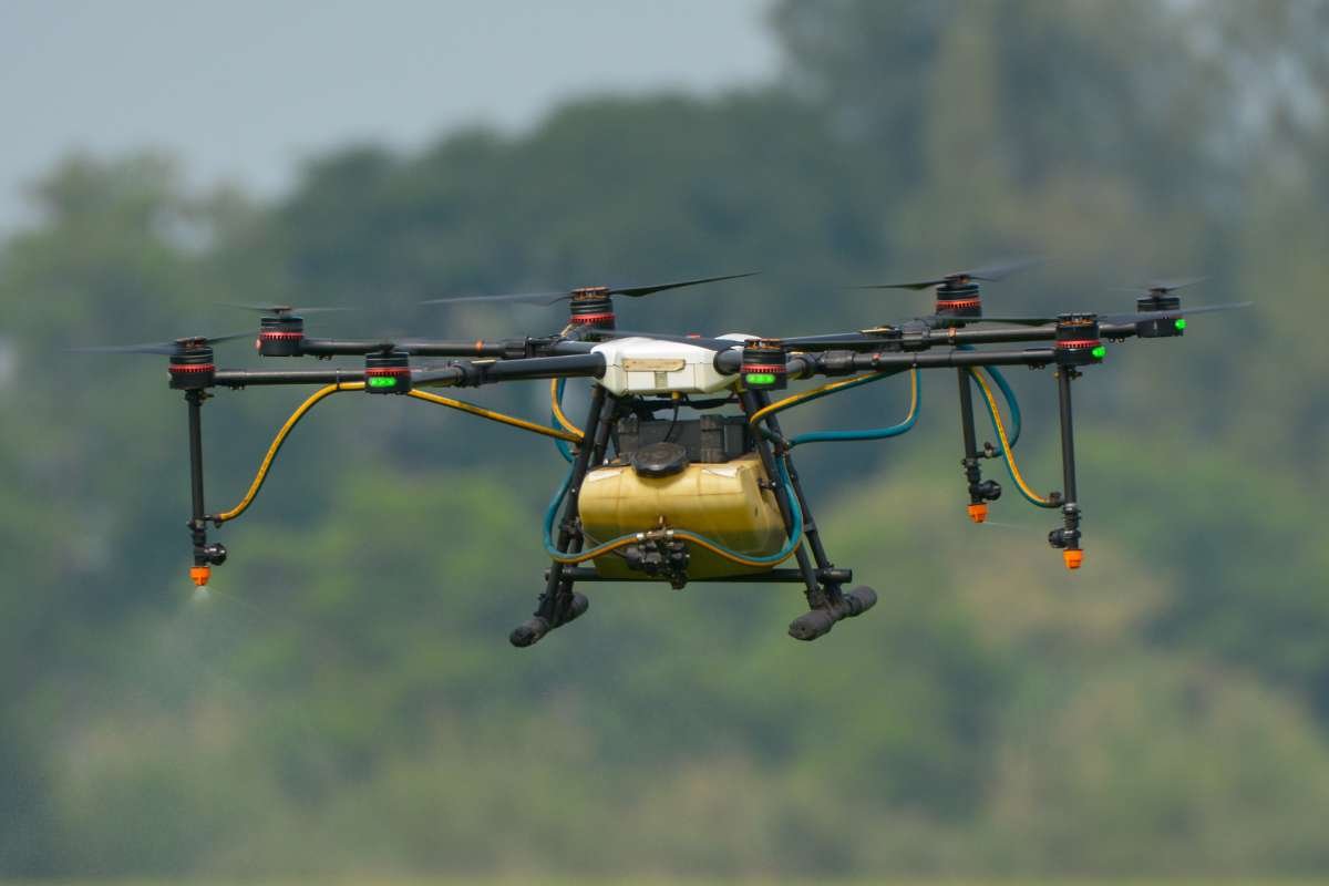
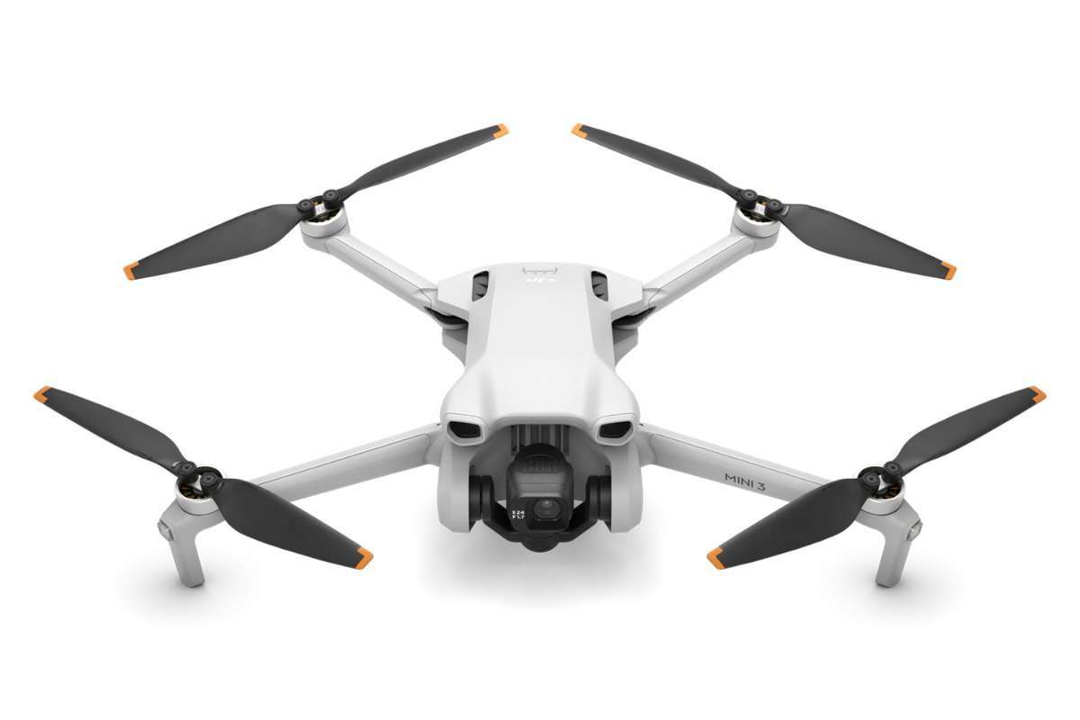
- Multirotor UAVs: These are the most common type, recognized by their multiple propellers (three, four, six, or eight rotors). They’re highly maneuverable and can hover in a fixed position. They are ideal for aerial photography, surveillance, and inspections. A quadcopter is a four-rotor version.
- Fixed-Wing UAVs: Designed like traditional airplanes, these UAVs use a single rigid wing for lift. They are much more energy-efficient and can cover vast distances for extended periods. They are suitable for mapping, large-area surveying, and long-range monitoring. However, they can’t hover and require a runway or launching system for takeoff.
- Single-Rotor UAVs: These are essentially small-scale helicopters, with one main rotor for lift and a smaller tail rotor for control. They are more complex and expensive but can carry heavier payloads and have longer flight times than multirotors.
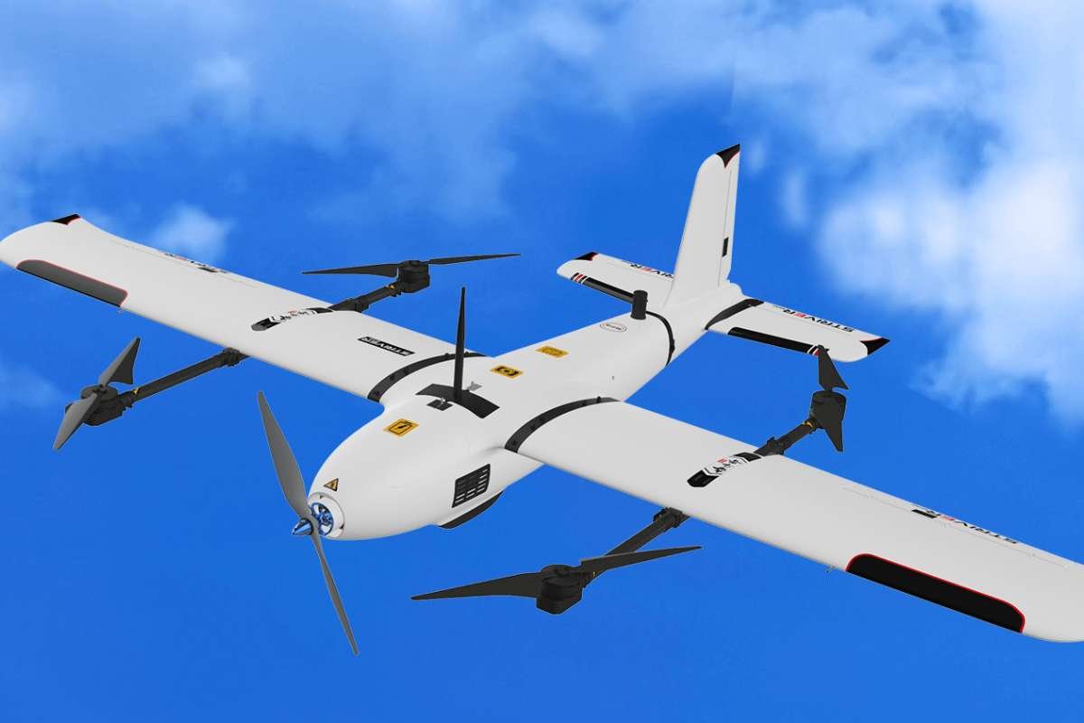
- Hybrid VTOL UAVs: These aircraft can take off and land vertically like a helicopter but transition to horizontal flight like a fixed-wing plane. This gives them both the hovering capability of a multirotor and the endurance of a fixed-wing unmanned aerial vehicle. Because of all these features, they are excellent for tasks demanding both versatility and range.
Now that we know the types of UAVs, let’s get into the top models in each of these types.
15 Unmanned Aerial Vehicles: Models, Features, and Cost
Here’s a list of the best UAVs that you have to know about. The criteria for these top models included flight endurance, payload capacity, mission versatility, technology sophistication, and cost-effectiveness.
So, without wasting too much time, let’s get straight into it, shall we?
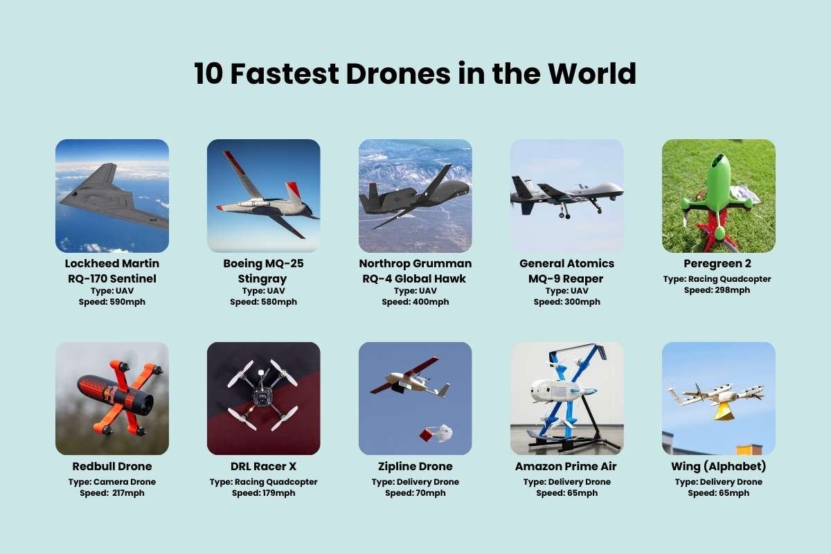
1. General Atomics MQ-9 Reaper
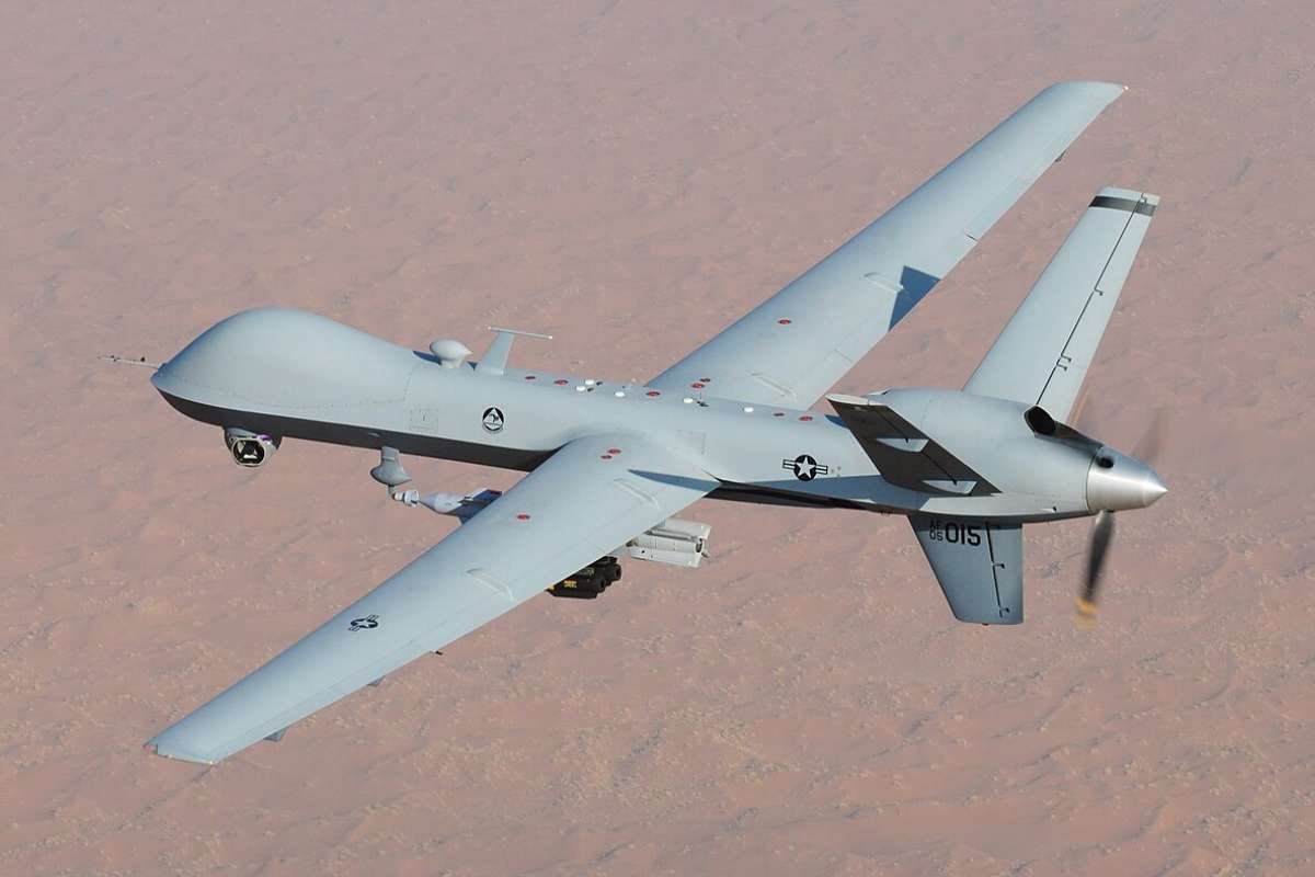
Also known as Predator B, this unmanned aerial vehicle was developed by General Atomics Aeronautical Systems Inc. It is a medium-altitude, long-endurance (MALE) UAV. It is designed for intelligence, surveillance, reconnaissance (ISR), and strike missions.
- Manufacturer: General Atomics Aeronautical Systems, Inc.
- Type: Fixed-Wing
- Use Cases: Military, strategic surveillance
2. WingtraOne Gen II
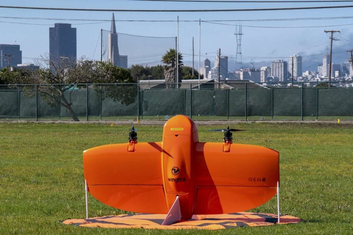
WingtraOne Gen II is a professional UAV used for aerial mapping and surveying. It is famous for its high-precision aerial mapping. The drone is a VTOL, which means it takes off and lands vertically in confined spaces. This feature eliminates the need for runways or hand launching.
- Manufacturer: Wingtra
- Type: Hybrid VTOL
- Use Cases: Mapping, surveying, and industrial
3. DJI Matrice 350 RTK
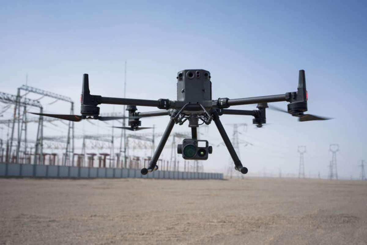
DJI Matrice 350 RTK is an industrial-grade UAV. This unmanned aerial vehicle is designed for high-precision RTK (Real-Time Kinematic positioning). This helps the user in taking centimetre-level accuracy for mapping, surveying, and other geospatial data collection.
- Manufacturer: SZ DJI Technology Co., Ltd.
- Type: Multirotor
- Use Cases: Infrastructure, public safety
4. Trinity Pro
If you are looking for a UAV for high-end, large-scale surveying and mapping, Trinity Pro is exactly what you need. This aircraft combines the vertical manoeuvrability of a multi-rotor drone with the energy efficiency of a fixed-wing aircraft. It can take off and land like a helicopter from almost any terrain. And best of all, it flies like a plane for extended endurance.
- Manufacturer: Quantum Systems
- Type: Hybrid VTOL
- Use Cases: Agriculture, surveying
5. Autel Dragonfish Pro
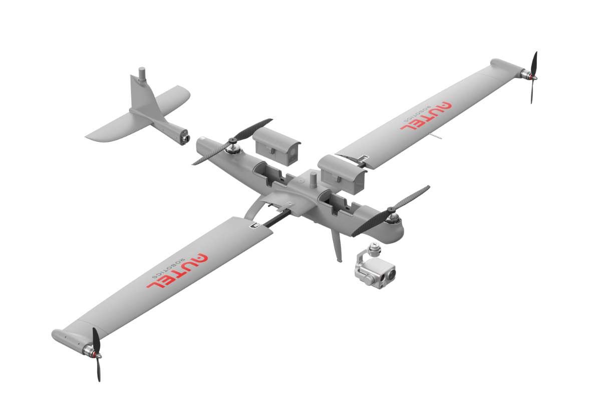
The Autel Dragonfish Pro is a high-end, professional-grade drone with an innovative tilt-rotor design. The UAV combines the endurance of a fixed-wing aircraft with the vertical takeoff and landing (VTOL) capabilities of a multirotor. This makes it a versatile tool for demanding industrial applications. Dragonfish Pro is used for surveillance, inspection, and large-scale mapping.
- Manufacturer: Autel Robotics
- Type: Hybrid VTOL
- Use Cases: Tactical surveillance, industrial
6. Velos V3
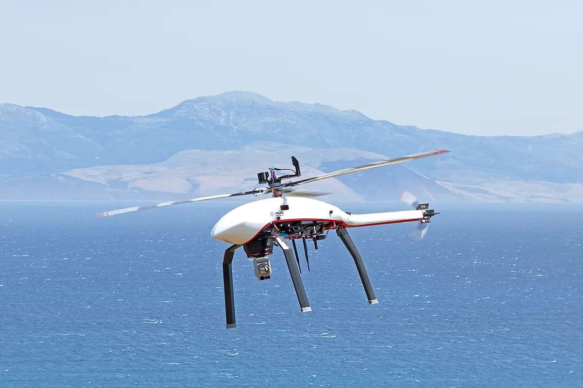
Velos V3 is an unmanned helicopter used for lifting and transporting goods. The UAV is known for its durability, advanced redundancy systems, and ability to operate in extreme weather. It is an innovative and patented drivetrain gearbox that can tolerate the failure of major components, including motors, belts, and ESCs.
- Manufacturer: Velos Rotors
- Type: Single-Rotor
- Use Cases: Heavy lift, long endurance
7. DJI Mavic 3
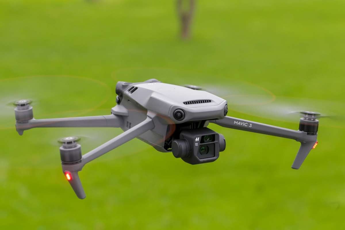
DJI Mavic 3 is the leader in civilian drone technology. It is a series of high-end camera drones from DJI. It is designed for professional photographers and filmmakers to help them with aerial photography. It features powerful imaging systems, omnidirectional obstacle sensing, and extended flight times. The Mavic 3 series includes several models, with key differences in their camera setups and features.
- Manufacturer: SZ DJI Technology Co., Ltd.
- Type: Multirotor
- Use Cases: Photography, inspection
8. DJI Matrice 30 Series
This series includes two unmanned aerial vehicle models, i.e., the standard M30 and the M30T. M30T features an additional thermal camera. But both models combine powerful sensors into a single, integrated payload. It is designed to be durable for industrial use as well as searching operations.
- Manufacturer: SZ DJI Technology Co., Ltd.
- Type: Multirotor
- Use Cases: Public safety, inspection
9. EVO II Dual 640T V3
EVO II Dual 640T V3 is a thermal, visual designing drone used for public safety and industrial use. It features a dual-sensor camera system and advanced flight capabilities. This UAV is perfect for inspections, search and rescue, law enforcement, and other tasks. It also lasts for 38 minutes in the sky.
- Manufacturer: Autel Robotics
- Type: Multirotor
- Use Cases: Search & rescue, law enforcement
10. JOUAV CW-80E
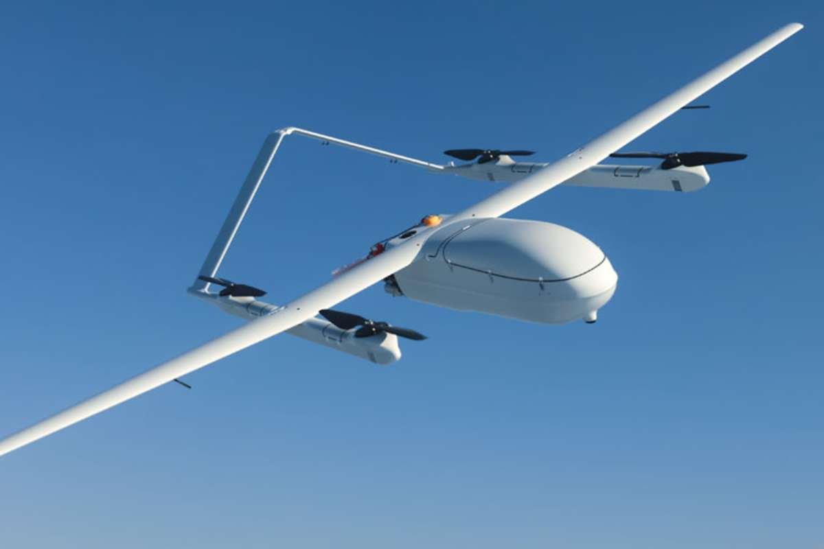
JOUAV CW-80E is a heavy-duty, VTOL drone used for industrial tasks. It is designed for large-scale, industrial-grade missions. Its hybrid gasoline and battery power system provides extended flight time and a large payload capacity. This UAV is made for demanding tasks like aerial surveying, surveillance, and emergency response.
- Manufacturer: JOUAV
- Type: Hybrid VTOL
- Use Cases: Industrial, cargo delivery
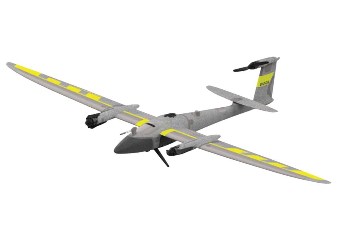
11. senseFly eBee X
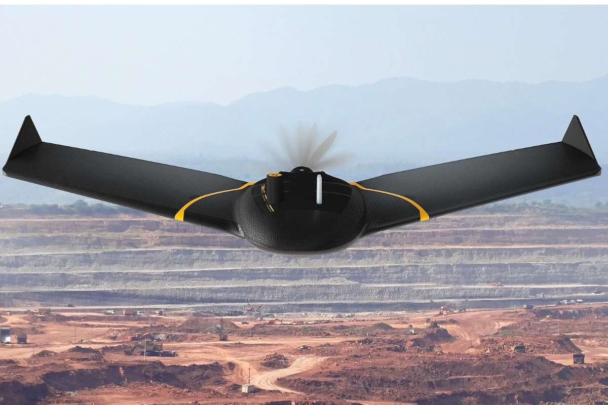
The senseFly eBee X is a lightweight, hand-launched fixed-wing drone designed for professional-grade mapping and surveying. The eBee X is primarily used by GIS professionals, surveyors, and engineers. The unmanned aerial vehicle is for creating high-resolution orthomosaics, 3D point clouds, and digital surface models (DSMs).
- Manufacturer: AgEagle Aerial Systems
- Type: Fixed-Wing
- Use Cases: Agriculture, large-area surveying
12. Parrot Anafi USA
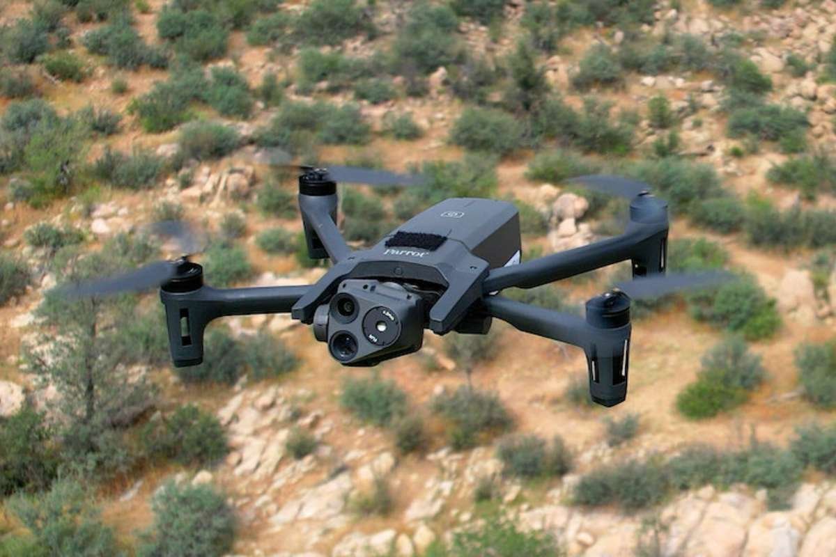
Anafi is used for military and enterprise-level tasks in the US. It is known for its durable design, high-security features, and advanced imaging capabilities. This drone includes a 32x zoom and thermal camera. The Anafi USA was developed in collaboration with the U.S. Army as part of the Defence Innovation Unit’s Blue sUAS program.
- Manufacturer: Parrot SA
- Type: Multirotor
- Use Cases: Public safety, military
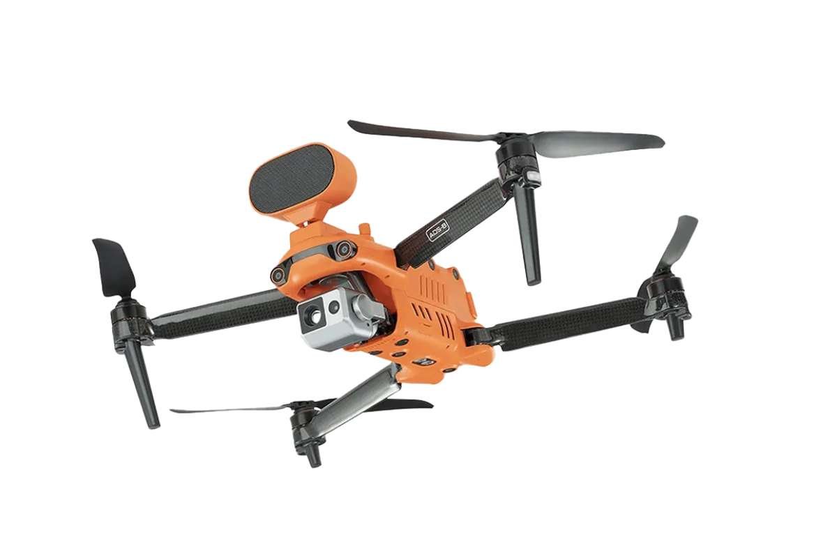
13. Eagletronics Hybrid VTOL
Eagletronics Hybrid is a commercial drone designed for surveying and mapping, inspection of assets, and surveillance missions. It is used for monitoring telecommunications infrastructure and wind farms. Key features of Eagletronics Hybrid include a tool-less, disassembly design and a classic aerodynamic layout with a redundant avionics system.
- Manufacturer: Eagletronics Aviation Private Limited
- Type: Hybrid VTOL
- Use Cases: Survey, mapping
14. DJI Mini 3
DJI Mini 3 is a beginner-friendly, compact, lightweight, unmanned aerial vehicle. It is capable of capturing high-quality 4K HDR video and 12MP photos. It is a more affordable and less feature-rich version of the Mini 3 Pro. But it does not come with advanced features like obstacle avoidance.
- Manufacturer: SZ DJI Technology Co., Ltd.
- Type: Multirotor
- Use Cases: Consumer photography
15. CAIG Wing Loong II
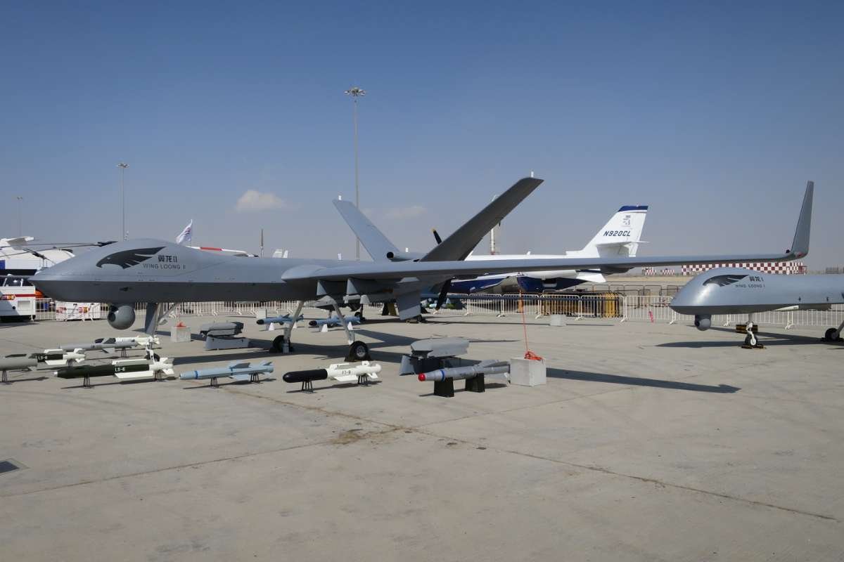
CAIG Wing Loong II, also known as Chengdu GJ-2, is a MALE unmanned aerial combat vehicle (UCAV). It is designed for surveillance, aerial reconnaissance, and precision strike missions. The UCAV serves as a less expensive alternative to Western drones like the U.S.-made MQ-9 Reaper.’
- Manufacturer: Chengdu Aircraft Industry Group in China
- Type: Fixed-Wing
- Use Cases: Tactical military operations
So these are the 15 top unmanned aerial vehicles in the market right now. It is important to note that some of them are not available for public purchase, as they are designed for industrial or military tasks.

| Type | UAV Model | Key Use Cases |
|---|---|---|
| Fixed-Wing | MQ-9 Reaper (Predator B) | Military ISR, strike missions |
| senseFly eBee X | Agriculture, large-area surveying | |
| CAIG Wing Loong II | Tactical military operations | |
| Multirotor | DJI Matrice 350 RTK | Infrastructure, public safety |
| DJI Mavic 3 | Photography, inspection | |
| DJI Matrice 30 Series | Public safety, inspection | |
| EVO II Dual 640T V3 | Search & rescue, law enforcement | |
| Parrot Anafi USA | Public safety, military | |
| DJI Mini 3 | Consumer photography | |
| Hybrid VTOL | WingtraOne Gen II | Mapping, surveying, and industrial |
| Trinity Pro | Agriculture, surveying | |
| Autel Dragonfish Pro | Tactical surveillance, industrial | |
| JOUAV CW-80E | Industrial, cargo delivery | |
| Eagletronics Hybrid | Survey, mapping, inspection | |
| Single-Rotor | Velos V3 | Heavy lift, long endurance |
Case Study: The Problem with Unmanned Vehicles: The Unseen Threat to Privacy
The case study highlights how unmanned aerial vehicles (UAVs) have rapidly advanced in surveillance, communication, and data-gathering capabilities. While these features support applications in disaster management, agriculture, and defence, they also create serious vulnerabilities.
UAVs can unintentionally or deliberately, collect sensitive personal data, raising concerns about privacy breaches, unauthorized monitoring, and misuse of recorded information. The study emphasizes that without proper safeguards, UAV technology can become a double-edged sword. While it is enabling innovation on one hand, it is also threatening individual rights on the other.
Key Takeaway: As UAV adoption grows, privacy concerns must be addressed through stronger regulations, encryption methods, and ethical usage frameworks to balance innovation with personal security.
What to Expect from the Future of UAVs?
According to data by Marketsandmarkets, the UAV market size is projected to grow from about USD 26.12 billion in 2025 to approximately USD 40.56 billion by 2030, with a CAGR of around 9.2% over this period.
According to Statista, the global drone market revenue in 2025 is projected to be around US$4.37 billion, with an expected annual growth rate (CAGR) of approximately 3.62% from 2025 to 2030.
Meanwhile, Business Insights suggests faster growth, with estimates suggesting the UAV market could reach USD 125.91 billion by 2032, growing at a CAGR of 17.3% from 2025, or even USD 223.66 billion by 2034 at a compound growth rate of about 22.3% from 2024.
The future of UAVs is set to be defined by a massive leap towards full autonomy. Unmanned aerial vehicles will be moving beyond simple remote control to intelligent, self-guided systems. We will be seeing a deep integration of artificial intelligence and machine learning in technology.
This will essentially allow UAVs to perform complex tasks with minimal human intervention. We can expect to see AI-powered drones that can make real-time decisions and navigate intricate environments.
This shift toward intelligent autonomy will be complemented by substantial advancements in hardware. We will see improvements in battery technology, with a focus on extended flight endurance and faster charging. We might witness the use of hydrogen fuel cells or solar power in UAVs.
Furthermore, the development of smaller, more robust sensors, lightweight composite materials, and enhanced propulsion systems will make UAVs more efficient, durable, and capable of carrying heavier payloads, broadening their use across diverse industries.
What is the Difference between Unmanned Aerial Vehicles and Drones?
Now, from the look of it, it may seem like UAVs and drones are the same thing. And you are half right about it. There is a slight difference between the two.
UAV (Unmanned Aerial Vehicle) is the more technical and formal term. It’s the preferred language in the military, aerospace, and regulatory fields. The term emphasizes the vehicle itself, a flying machine that is not crewed.
Whereas, drone is the more common, colloquial term used by the general public and in consumer markets. It most often refers to small, multirotor aircraft used for photography, recreation, or racing. But “drone” can also be a broader term that includes other unpiloted vehicles. This includes vehicles such as unmanned ground vehicles (UGVs) or underwater remotely operated vehicles (ROVs).
So, to summarize the difference, a drone is an umbrella term for all types of unmanned vehicles. While all UAVs are drones, not all drones are UAVs.
Conclusion:
UAV technology is quickly advancing, and its journey has just begun. These incredible machines are moving beyond simple photography and surveillance to become vital tools in a wide range of fields, from agriculture to logistics and emergency response. \
The innovation we’ve seen so far, from versatile Hybrid VTOLs to heavy-duty industrial drones, is just a glimpse of what’s to come. As these systems become more autonomous and integrated with AI, their applications will continue to grow exponentially, transforming everything from how we monitor our environment to how goods are delivered.
However, as the use of unmanned aerial vehicles expands, so do the challenges. Issues of privacy, security, and airspace regulation must be carefully considered to ensure this technology benefits society safely and ethically.
The future of flight is not just about the machines themselves but about how we, as a global community, choose to manage their power and potential. By understanding these ground-breaking devices, you’re not just learning about technology, you’re getting a front-row seat to the next great revolution in our skies.
FAQs
1. How long can an unmanned aerial vehicle stay in the air?
The flight time of a UAV varies significantly based on its type and purpose. Consumer drones typically fly for 20-30 minutes. While high-end professional and industrial models can stay airborne for 45 minutes to over an hour. Specialized long-endurance UAVs, often using hybrid battery and fuel systems, can fly for several hours or even days.
2. What are the main legal restrictions on flying unmanned aerial vehicles?
Regulations vary by country, but common rules apply. You must maintain a visual line of sight with the UAV. You also can’t fly it above a certain altitude, typically 400 feet, or near airports, prisons, and crowds.
3. How do unmanned aerial vehicles navigate and avoid obstacles?
UAVs use a combination of GPS and sensors for navigation. They use Lidar, radar, and cameras to create a real-time map of their surroundings. This allows them to identify and avoid obstacles in their flight path automatically.